Turicleta
Cigüela River Hoces Route from El Hito
Easy

Cigüela River Hoces Route from El Hito

Municipio Turicleta, Castilla-La Mancha
16.1km Distance
1h 20min Duration
865m Max altitude
e-Bike Type

About this route

I prepare a description in the same style as the previous ones of Saelices and Segóbriga, so that all the routes of Turicleta maintain consistency in Komoot:

Discover the surroundings of El Hito by electric bike with this route that heads towards the stunning Hoces del río Cigüela, a little-known natural enclave where the river has sculpted a small canyon in the heart of the Manchego plain.

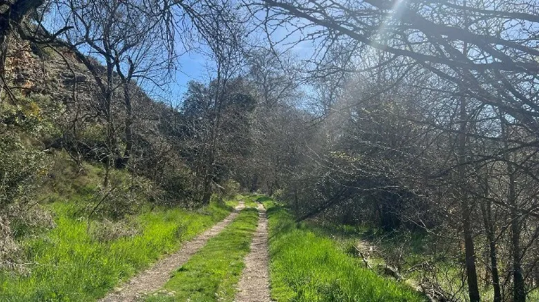
The route crosses peaceful rural paths between fields and open landscapes characteristic of Mancha conquense. Along the way, you can enjoy wide panoramas of the territory and the surroundings of Laguna de El Hito, a protected natural space of great ecological value, known for its importance to numerous bird species.

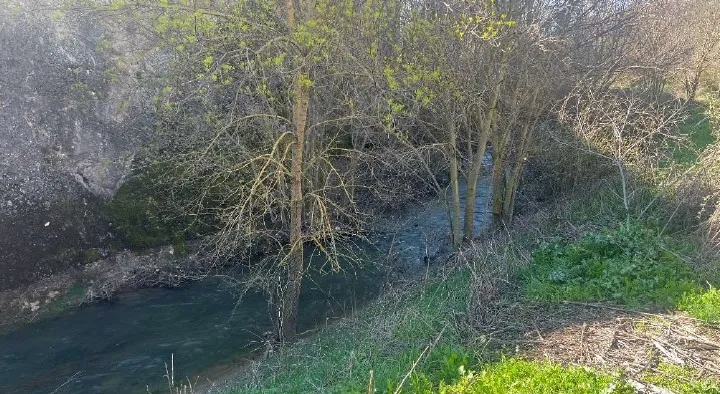
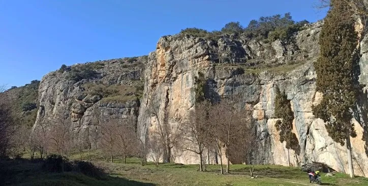
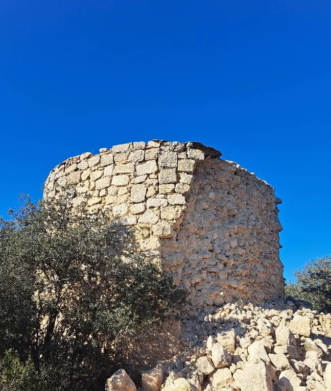
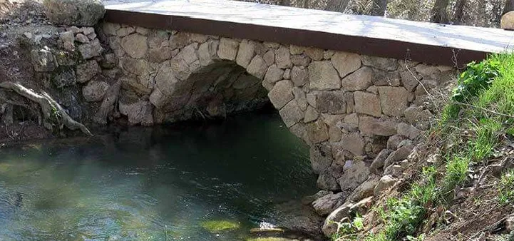
The route leads to the Hoces del río Cigüela, a surprising natural corner where the landscape changes and rocky cliffs and natural formations appear, contrasting with the softness of the agricultural landscape that dominates the area.

After enjoying the place, the route returns along the same path to El Hito, allowing for a calm ride while continuing to enjoy the scenery.

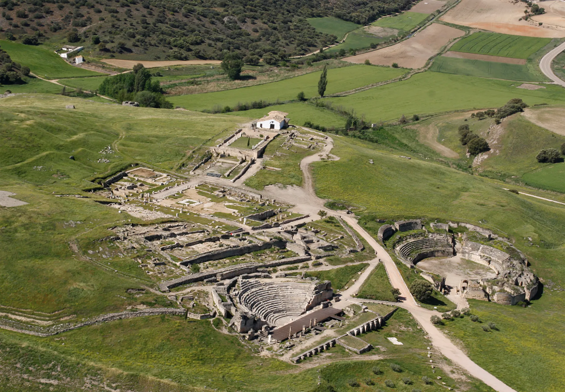
An ideal route to discover the nature and tranquil landscapes of the surroundings of Segóbriga and Mancha conquense.

Types of paths:

  • Path: 13.8 km
  • Road: 1.09 km
  • Narrow trail: 1.01 km
  • Street: 103 m
touch_app
Toca para interactuar Usa dos dedos para hacer scroll

Mapa interactivo proporcionado por

Wikiloc open_in_new

Route gallery

Moments captured by our community.

Cigüela River Hoces Route from El Hito - Image 1
Featured Cigüela River Hoces Route from El Hito
Cigüela River Hoces Route from El Hito - Image 2
Cigüela River Hoces Route from El Hito
Cigüela River Hoces Route from El Hito - Image 3
Cigüela River Hoces Route from El Hito

Points of interest on the route

Discover unique places to stop and enjoy.

Palace Farm Infanta Eulalia castle Edificio

Palace Farm Infanta Eulalia

The ruins of the estate of the Palace of Infanta Eulalia correspond to an ancient property linked to the Spanish aristocracy. Today, some remains of the constructions that were part of this historic estate are preserved, located in a rural setting that reflects the life of the large agricultural properties in the area in past times.

Hoz del cigüela forest Naturaleza

Hoz del cigüela

The gorges of the Cigüela River form a natural landscape of great beauty where the river has carved deep walls and ravines in the terrain over time. This environment combines rock formations, riverside vegetation, and wide views of the Manchego landscape, becoming a place of natural interest in the vicinity of Segóbriga.

Watchtower of Saelices castle Edificio

Watchtower of Saelices

The watchtower of Saelices is an ancient lookout tower used to control the territory and warn of possible dangers. Located in an elevated position, it was part of the defensive system and visual communication between towers, allowing the monitoring of roads and the surroundings from a strategic point.

Old Bridge water_drop Agua

Old Bridge

Small bridge of Roman origin, located near the Castle of Saelices. It is of great importance, as it belongs to the Roman road that connected Carthago Nova with Complutium.

Luján Castle castle Edificio

Luján Castle

The Luján Castle is a medieval fortification situated on a hill that dominates the landscape of the region. Although it is now preserved in a state of ruin, its remains allow us to appreciate the strategic importance that this defensive enclave had, from where the roads and the surrounding territory were controlled.