Turicleta
Valdilecha - Tielmes Route - Tajuña Greenway
Moderate

Valdilecha - Tielmes Route - Tajuña Greenway

Valdilecha, Comunidad de Madrid
37.0km Distance
2h 30min Duration
803m Max altitude
e-Bike Type

About this route

Warning: shared space with motor vehicles.

An interesting itinerary starts from the municipal park of Valdilecha, following a pleasant path to the ravine of Casasola from where one can appreciate a majestic panoramic view of the municipality, continuing to descend towards the valley of Tielmes, a town of Roman origin with interesting medieval heritage.

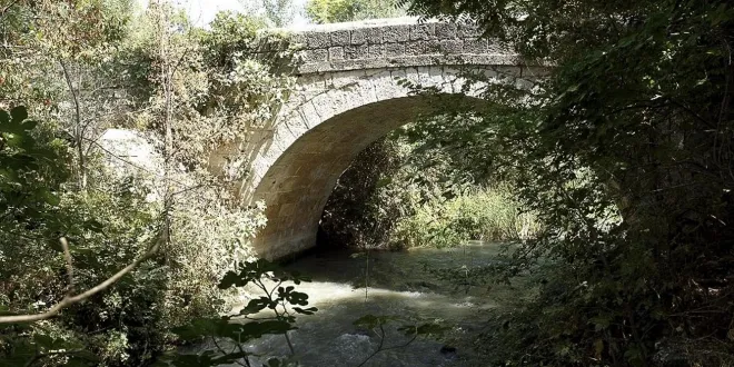
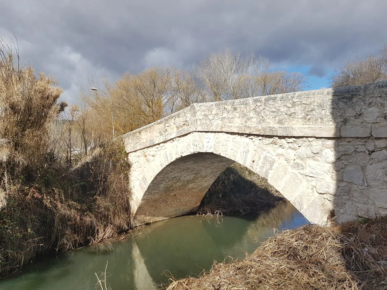
Subsequently, once Tielmes is traversed, one can continue along a section of the Greenway of Tajuña to Carabaña, during the journey the contrast between the meadow and the moorland is striking. Moreover, it is one of the oldest populations in the Community of Madrid and to enter, one must cross the bridge of Tajuña, of Roman origin and reconstructed in the 18th century.

Types of Path

  • Trail: 15.7 km
  • Bicycle path: 14.1 km
  • Street: 2.91 km
  • Road: 2.36 km
  • National road: 1.75 km
  • Other paths: 504 m

touch_app
Toca para interactuar Usa dos dedos para hacer scroll

Mapa interactivo proporcionado por

Wikiloc open_in_new

Route gallery

Moments captured by our community.

Valdilecha - Tielmes Route - Tajuña Greenway - Image 1
Featured Valdilecha - Tielmes Route - Tajuña Greenway
Valdilecha - Tielmes Route - Tajuña Greenway - Image 2
Valdilecha - Tielmes Route - Tajuña Greenway
Valdilecha - Tielmes Route - Tajuña Greenway - Image 3
Valdilecha - Tielmes Route - Tajuña Greenway

Points of interest on the route

Discover unique places to stop and enjoy.

Vaciabotas Weir water_drop Agua

Vaciabotas Weir

The "azudes" are original from the Arab period, improving on the previous irrigation systems of the Romans. The "great" Muslim river dams allowed for an increase in the flow of the irrigation channels and marked the beginning of extensive agriculture in the Tajuña valley. The Azud de Vaciabotas is known as the "waterfall of Tajuña," it is the water intake of the Caz del Molino of the Tajuña river, it is also known as Azud del Molino because it is next to the old Molino Nuevo or Molino de la Isla, privately owned, documented in the Topographical Relations of Philip II.

Carabaña Bridge place Otro

Carabaña Bridge

Carabaña is one of the oldest towns in the Community of Madrid. The cycling route runs along the Greenway of Tajuña through a pleasant tree-lined path with a rest area and passes by the neoclassical bridge over the Tajuña River; numerous sources claim that the river crossing is of Roman origin and has undergone several reconstructions over time. The most significant rehabilitation was in the 18th century with limestone blocks in a setting of elms, giant poplars, and riverside vegetation that forms a true forest wall along the riverbanks.