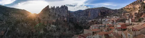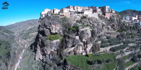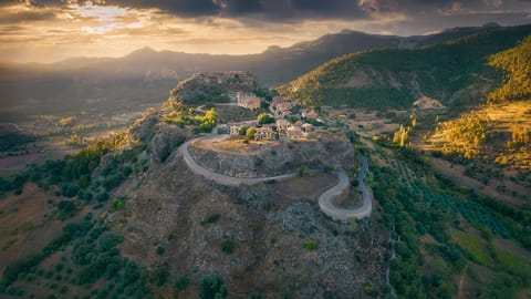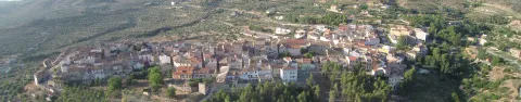
Sierra del Segura
Discover the unique landscapes of Sierra del Segura by electric bike
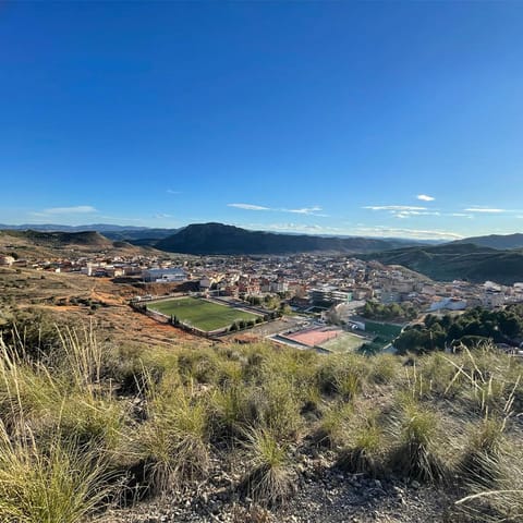
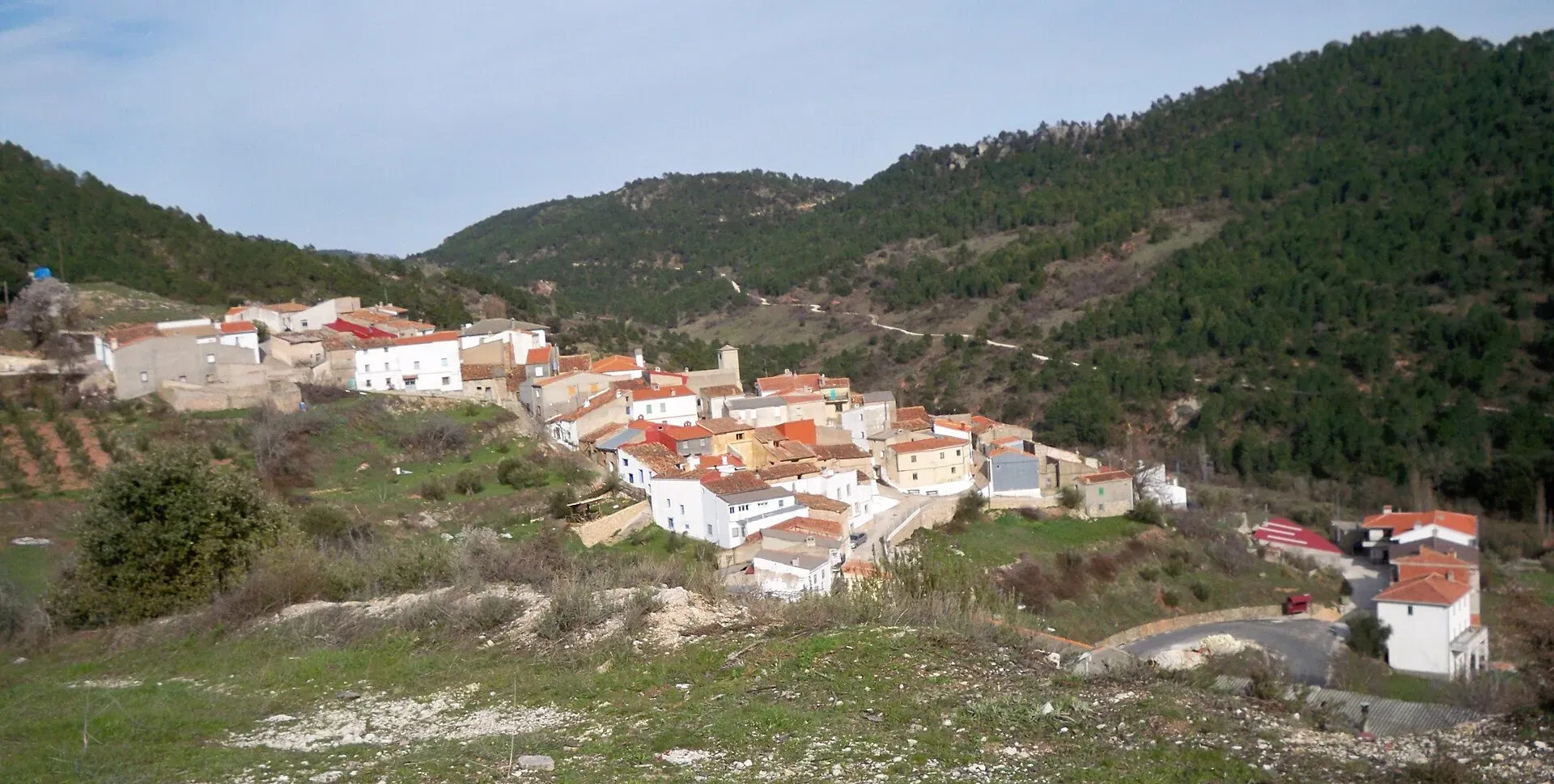
About Sierra del Segura
Sierra del Segura is a territory of mountains, rivers and charming villages that make up one of the most valuable natural areas in Spain.
Travel these landscapes by electric bike connecting historic municipalities through routes designed for all levels.
Mapa de la Comarca
12 destinosFeatured routes
Discover the paths that connect these unique destinations.

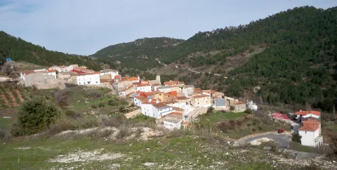
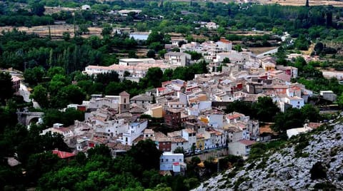
BTT Molinicos
MolinicosWithin the Provincial BTT circuit in Albacete, we can find this event in the area of Molincos. A demanding route for mountain bike enthusiasts.

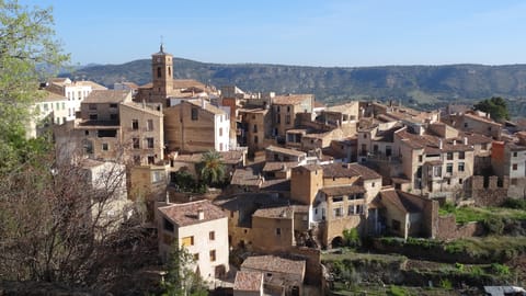
Bujero Molinicos Route
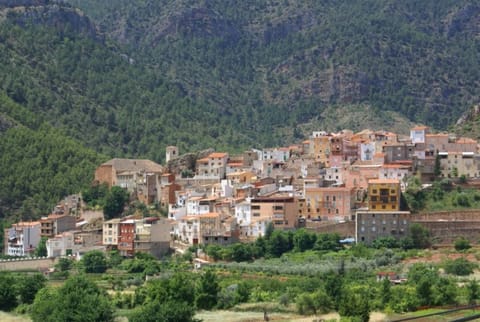
MolinicosThe Bujero is a curious natural hole in rock at about 1,100 m altitude with impressive panoramas. From there, part of the terms of Molinicos, Elche de la Sierra, and Letur can be seen.
The route begins in the urban center of Molinicos and descends towards the old town of the village to start an ascent that leads to the village, now uninhabited, known as Las Hermanas, whose clock, installed in the first half of the 20th century, is a symbol of the area.
It is a circular route except for the path, which is linear, that reaches the Bujero. The route ends again in Molinicos passing by the farmhouse of El Retamar.
Recommended for those over 12 years old.

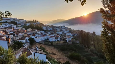
Popular Race Molinicos
MolinicosThe Popular Race of Molinicos is framed within the Circuit of the Provincial Council of Albacete. Created since 2005 and thanks to the Athletics Club of Molinicos that carried out this trail. In addition, it can be done walking or running.
It is one of the most demanding routes and a classic within the Provincial Circuit for lovers of popular athletics and nature.
It combines asphalt, 3.5 km through the streets of the village, and dirt. The route has significant slopes as it ascends from 850 to 1070m in height, compensating for its toughness
Offering panoramic views and spectacular landscapes of our Sierra, all alongside the hospitality and the atmosphere generated when an entire village gets involved in organizing its popular race will not leave anyone indifferent.
Higuera Source Route - The Alejos - The Pardal - Molinicos
MolinicosThe route crosses diverse landscapes, from lush forests to open views of mountains and valleys. Each section offers a new perspective of the natural beauty surrounding the route.
With sections of medium difficulty, it is an ideal option for cyclists with some experience, looking to combine adventure and tranquility in a spectacular journey.

Geo-Route Sierra del Cujón
MolinicosMedium mountain itinerary that starts from the surroundings of Molinicos and progressively ascends through tracks and forest paths to the Sierra del Cujón, one of the most prominent reliefs in the eastern sector of the Sierra del Segura. The round trip route runs between pine forests of laricio pine and common juniper, crossing limestone areas with abundant karst forms and panoramic views over the valley of the Mundo River. Along the route, various geological interpretive panels are located that explain the formation of the relief and the characteristic rocks of the region.
Physically demanding route due to its length and accumulated elevation, although without notable technical difficulties.
Las Atalayas-Molinicos Route
MolinicosThis route combines mountain sections with stunning panoramic views and paths that wind through nature, perfect for enjoying the outdoors.
A demanding yet rewarding route, ideal for cyclists looking for a challenge while enjoying breathtaking landscapes.

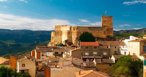
Ruta Barranco de Ramalero
LeturLa ruta al Barranco del Ramalero es una de las más atractivas para los amantes de la bicicleta de montaña en Letur. Transcurre por un entorno agreste y solitario, dominado por pinares, cortados rocosos y barrancos profundos, con vistas espectaculares se pueden ver formaciones rocosas y vegetación autóctona.
El Barranco del Ramalero es un enclave natural por el que cuando llueve discurren las aguas del Pozo Reolid para desembocar en la rambla del Lorca.
Tipos de camino:
- Senda: 11,9 km
- Carretera: 1,21 km
- Sendero estrecho: 651 m
- Otras vías: 313 m

Source Route of the Solana
LeturRoute Fountain of the Solana